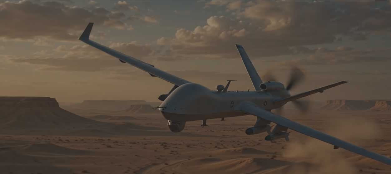
GPS-DENIED NAVIGATION
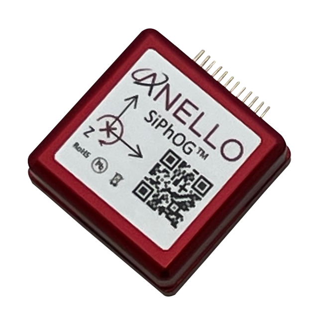
ANELLO’s Silicon Photonic Optical Gyro (SiPhOG™) is the world’s smallest high-precision optical gyroscope.
-
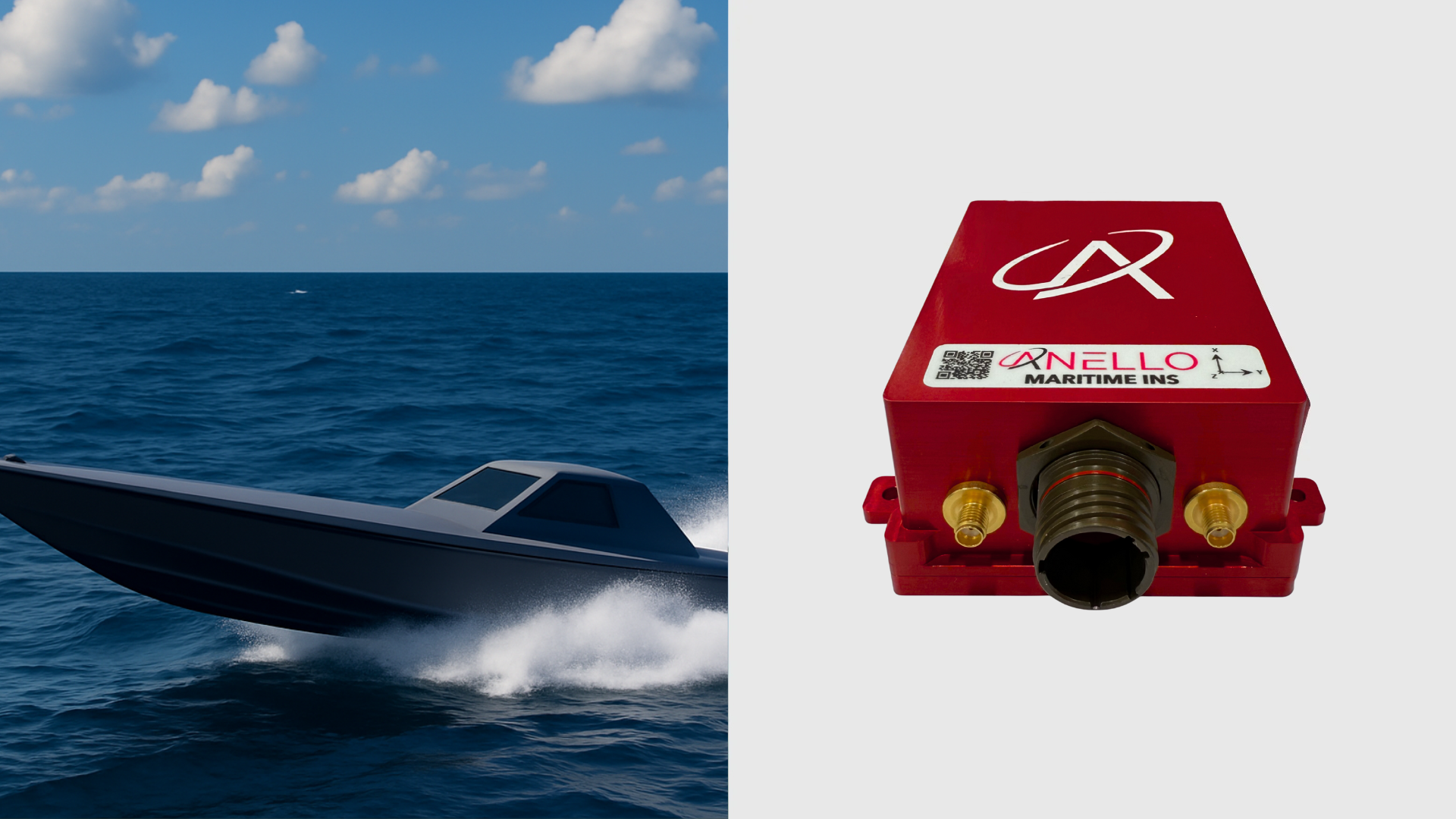
![ANELLO Maritime INS USV]()
ANELLO MARITIME INS
High-performance INS for Autonomous Maritime Operations in GPS-Denied Environments.
-
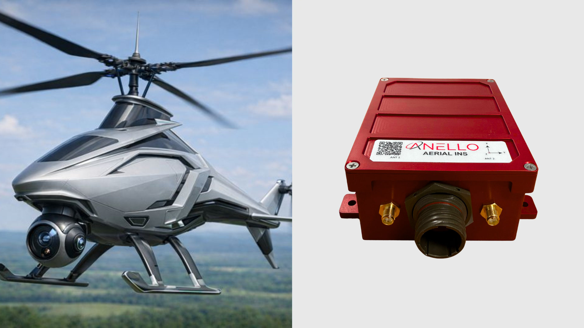
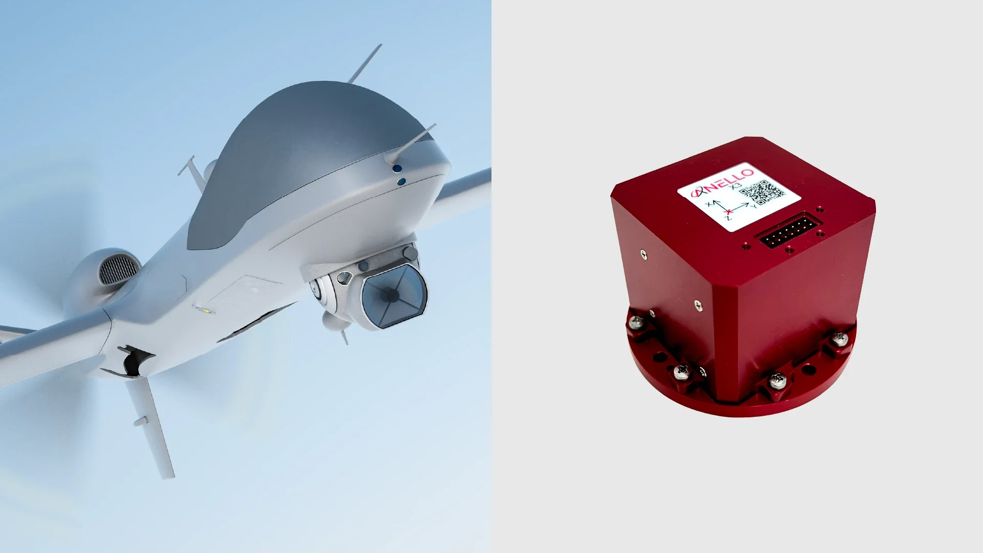
![A futuristic silver helicopter on the left side and a red aerial ins antenna on the right side.]()
ANELLO AERIAL INS
High-Performance INS for Autonomous Aerial Operations in GPS-Denied Environments.
-
![ANELLO X3 IMU UAV]()
ANELLO X3 IMU
Ultra-Compact 3-Axis Optical Gyro IMU for Aerial Missions. Compatible with PX4 and ARDUPILOT.
-
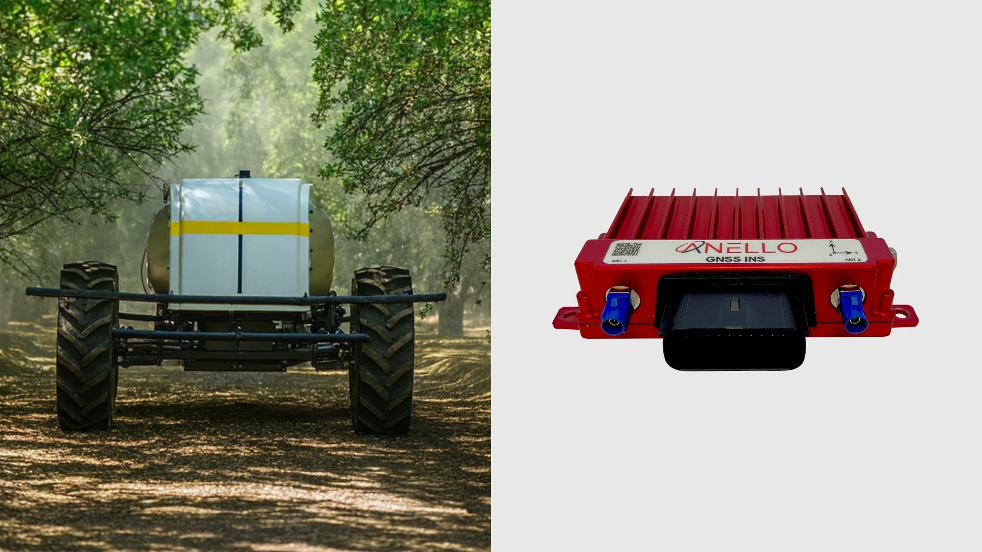
![ANELLO GROUND INS Autonomous Sprayer]()
ANELLO GROUND INS
High-Performance Optical Gyro INS for Autonomous Navigation on Every Terrain.
-
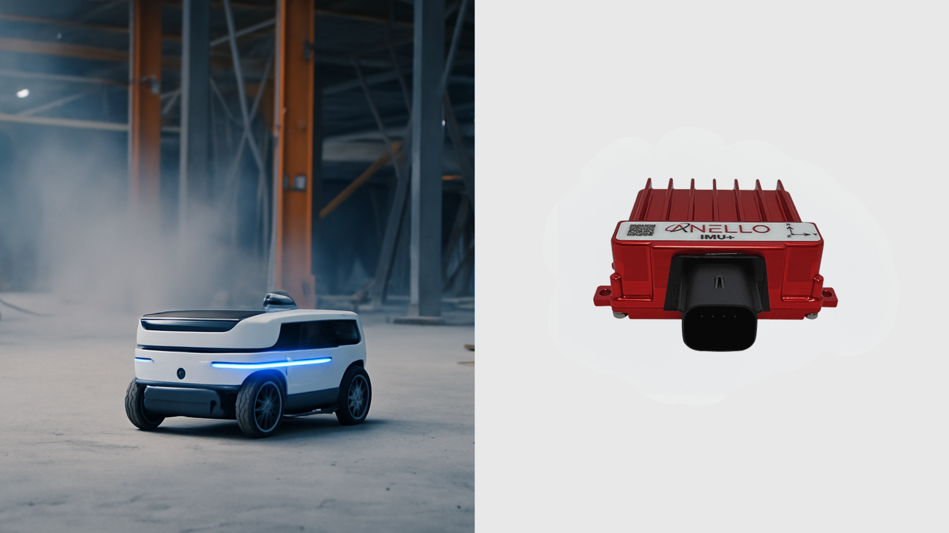
![ANELLO GROUND IMU Robot]()
ANELLO GROUND IMU
Rugged Optical Gyro IMU for Robotics and Construction Autonomy.

MAKING IMPOSSIBLE NAVIGATION POSSIBLE
Aerial
ANELLO’s SiPhOG™-powered systems offer unparalleled precision, autonomy, and adaptability - enabling efficient, reliable, and safe operations for commercial and defense aerial platforms operating in GPS-denied environments.

Maritime
Purpose-built for the world’s most unpredictable and GPS-denied waters, ANELLO’s SiPhOG™-powered inertial navigation systems deliver high accuracy, continuity, and resilience for commercial and defense maritime operations.
Ground Vehicles
Powered by SiPhOG™ Optical Gyroscope technology, ANELLO’s inertial navigation systems deliver precise, dependable positioning and real-time awareness for unmanned ground vehicles, trucks, and other commercial and defense autonomous ground platforms.
Agriculture
ANELLO’s SiPhOG™-based systems bring modern precision and data-driven insight to farming, improving crop management, yield optimization, and sustainable practices across today’s evolving agricultural landscape.

Construction
In the fast-paced world of construction, ANELLO’s advanced inertial navigation systems through SiPhOG™-based system provide precision, ruggedness and real-time data that enabling operations in GPS-denied environments.

Mining
ANELLO’s SiPhOG™-powered systems offer precision, autonomy, and adaptability, enabling efficient, reliable, and safe operations for mining equipment operating in GPS-denied environments.

Mapping & Surveying
ANELLO’s SiPhOG™ enhances the accuracy, stability, and reliability of mapping and surveying systems, offering precise location and orientation data in GPS-denied environments.

Robotics
ANELLO’s SiPhOG™-based inertial navigation systems enable exceptional precision, autonomy, and adaptability for today’s autonomous robotics operations.
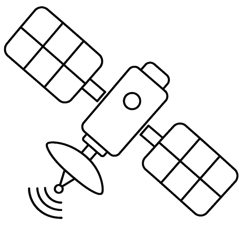
Space
ANELLO’s SiPhOG™-based inertial navigation systems bring precision, resilience, and real-time positioning to space applications, enabling operation in mission-critical GPS-denied environments.
LATEST NEWS


BACKED BY INDUSTRY-LEADING INVESTORS